Satellites and Samples: Citizen Science Fine Tunes Satellite Algorithms
Satellites and Samples: Citizen Science Fine Tunes Satellite Algorithms
By Laura Quigley
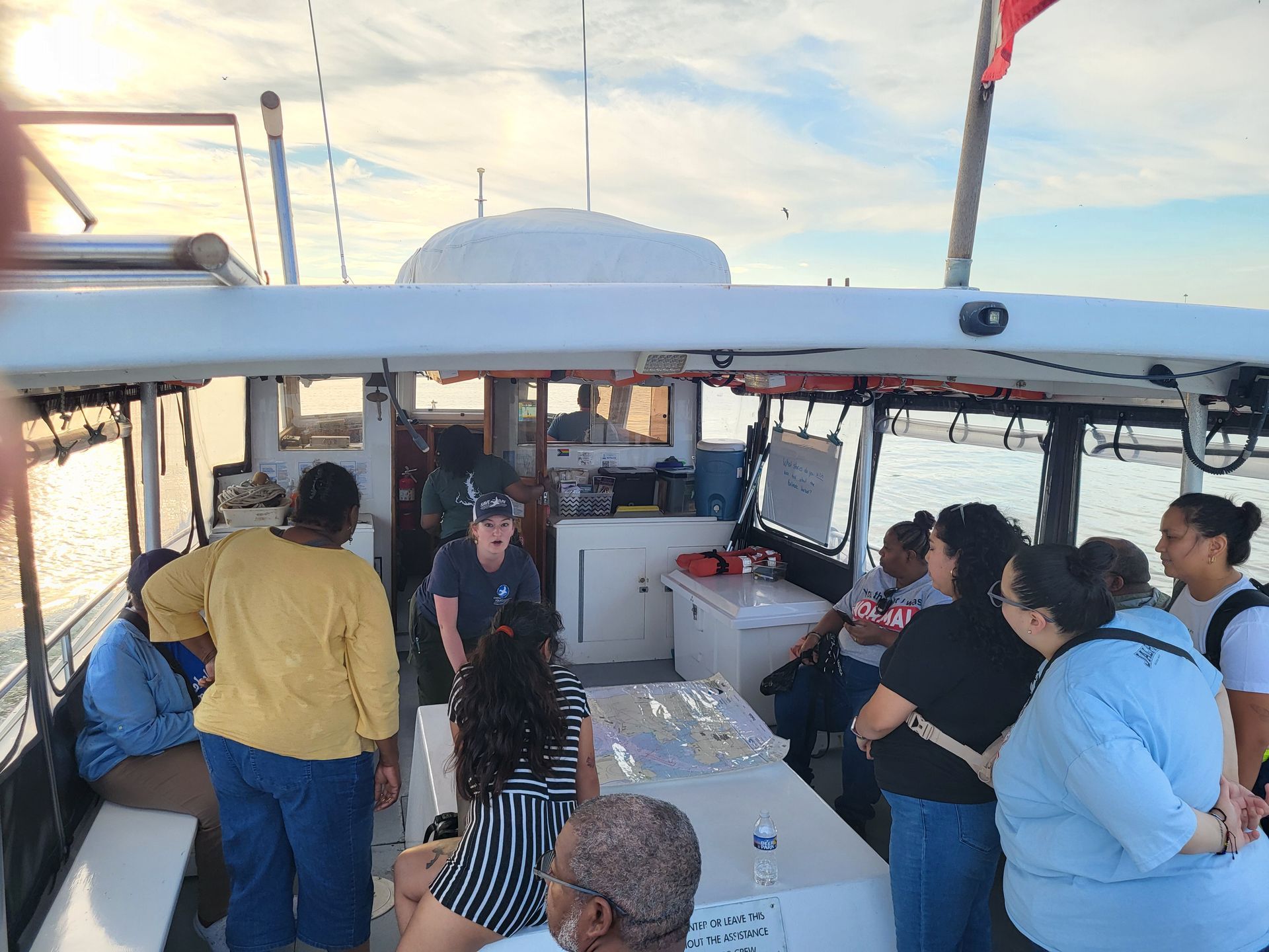
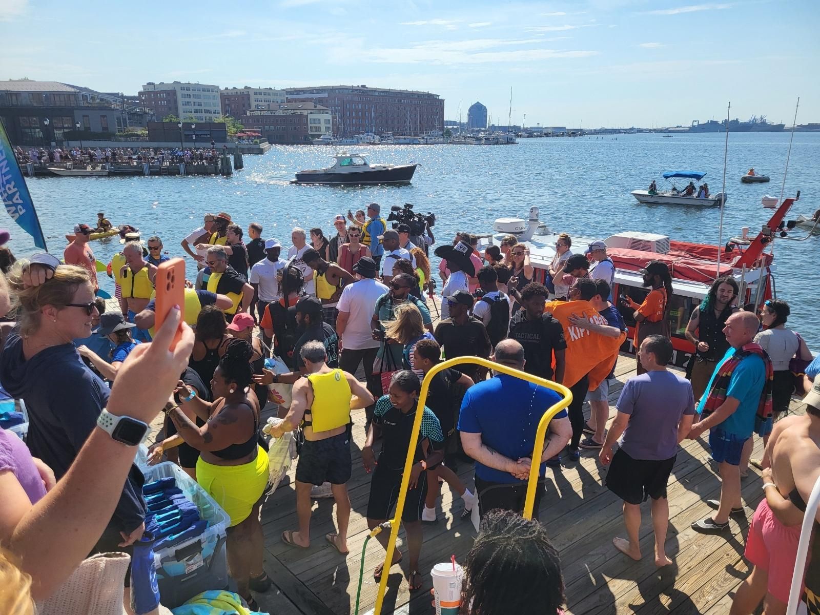
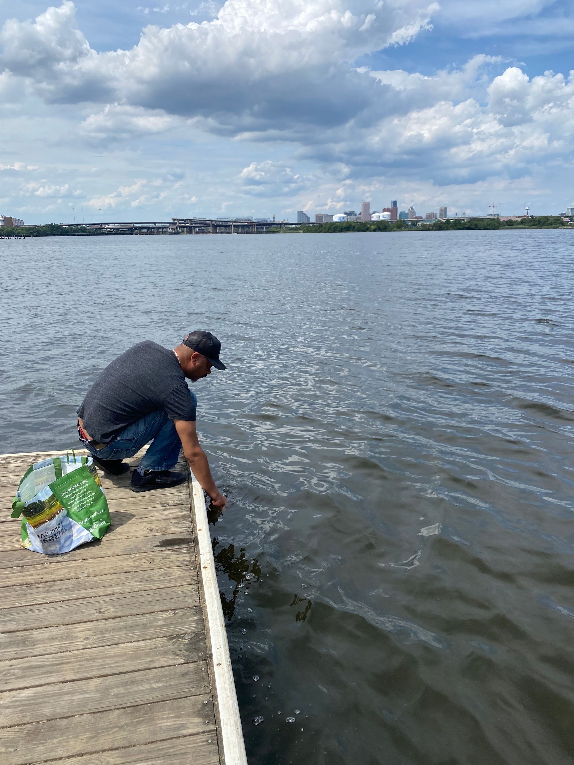
Earlier this month, two NASA satellites soared over the Chesapeake Bay simultaneously, capturing data on the waters beneath. Far below, a contingent of citizen scientist volunteers positioned throughout the bay set out to do the same. Armed with empty beakers, tupperware, or plastic bottles, they headed out from various points on the shore to collect samples of the bay’s fluctuating water quality.
Aptly named Satellites and Samples, the undertaking was a special event within the Smithsonian Environmental Research Center’s (SERC) Chesapeake Water Watch program. The program - a collaboration between SERC, NASA, and the City College of New York - trains volunteers to collect water samples that the agencies will then use to validate the data captured by passing satellites, a process known as ground truthing.
Each satellite typically passes by a single location every 5 to 8 days, according to Shelby Brown, who coordinates volunteers for Chesapeake Water Watch. On this day, however, the paths of satellites Landsat-9 and Sentinel-2a coincided, providing a unique opportunity to improve the satellites’ water quality monitoring algorithms.
“It just so happened that two of [the satellites] synced up and were passing over on the exact same day,” says Brown. “So we thought, why not take advantage of this and see if we could get as much data as possible in this one day?”
Once collected, volunteers deposited the water samples at one of six hubs spread throughout the Chesapeake watershed. On the Middle Branch, EJJI - alongside the Baltimore Rowing and Water Resource Center - manned a collection hub for data representing Baltimore’s waters.
“Our purpose,” says Jessica Diaz, the Environmental Science Program Manager at EJJI, “was to bring that Baltimore representation to the dataset because it is an important part of the Chesapeake Bay and there’s a lot of implications for water quality and algae chlorophyll.”
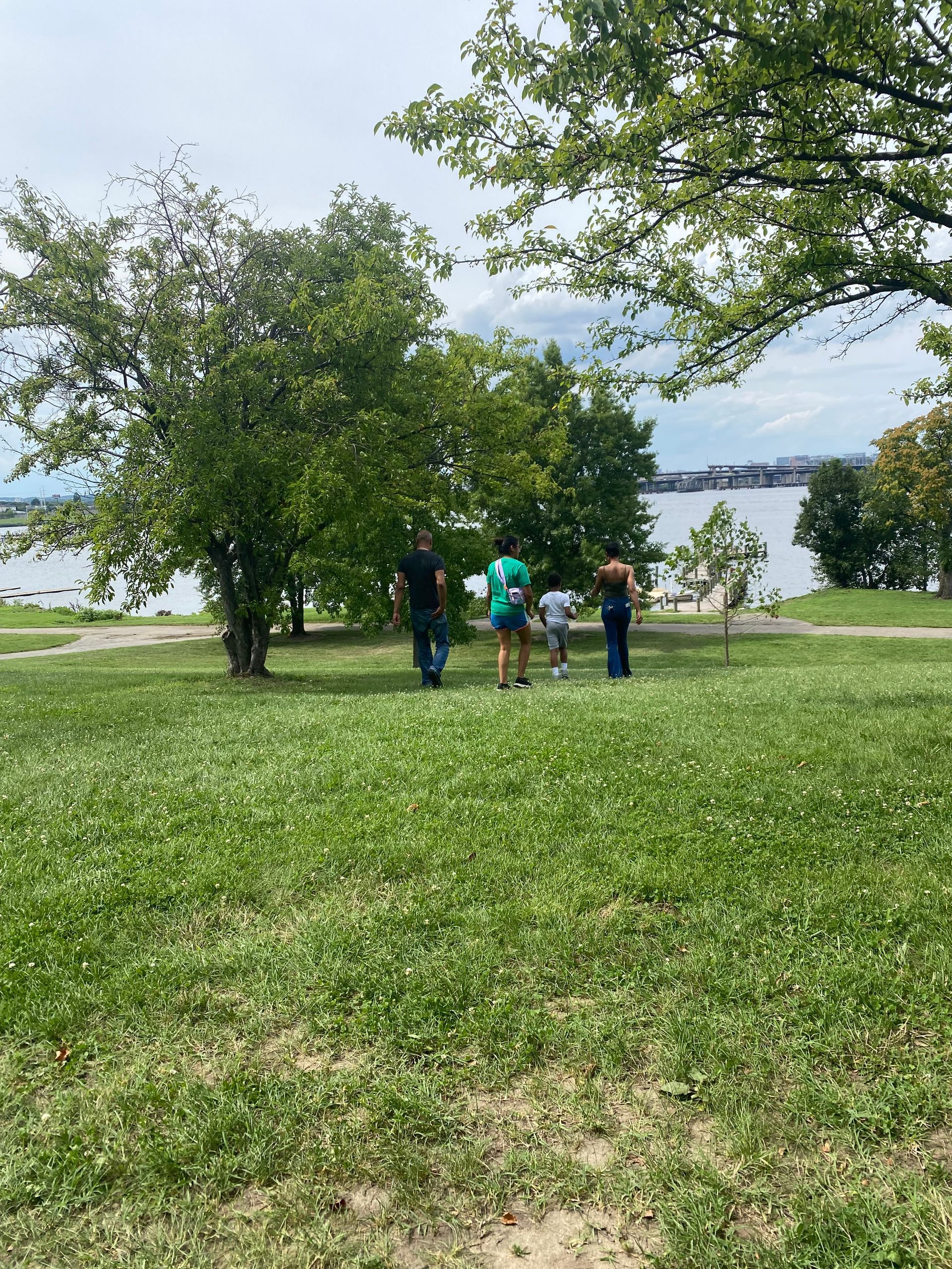
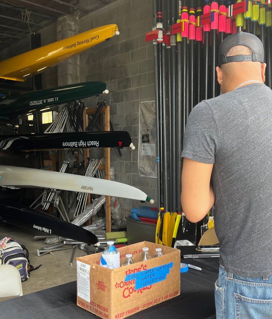
Among those who contributed water samples at the Middle Branch collection hub were members of the Baltimore Rowing Club and a 7-year-old boy named Bryson, who identifies himself as a scientist with 5 years of experience.
Bryson was sitting on a bench by the water when Donzell Brown, the co-founder and Executive Director of EJJI, approached to tell him about the event and ask if he would like to collect a sample. Bryson lit up when he learned that his sample would interact with a satellite in space.
“It was like a mini science lesson and it just happened because he’s just sitting right there on the bench right next to us looking at the same thing, looking at the same city and the same water,” says EJJI’s Brown.
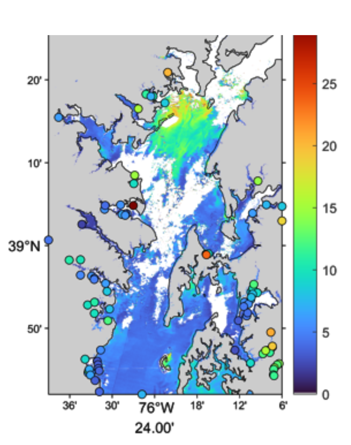
FieldScope visualization of Baltimore area water quality data
Bryson wasn’t the only one inspired by the opportunity to contribute to science. During Satellites and Samples, a mother and her 11-year-old son scooped up samples from a boat on the Magothy River in Anne Arundel County. One volunteer drove an hour and 45 minutes each way to drop samples at their closest hub. Yet another volunteer on the Eastern Shore collected and processed 44 samples using equipment that SERC loaned to them.
For Diaz, who grew up near petrochemical factories in Houston, being inspired to get involved in science is a way to reclaim power and contribute to positive change.
“Becoming a scientist myself, I very much see the more you know about your environment, the better equipped you are to take care of yourself, your community, your environment,” says Diaz.
Through Satellites and Samples, the quest for knowledge culminated in 106 samples collected during the 8-hour event. At the SERC lab, interns and volunteers processed the collected samples for data on water clarity, chlorophyll content, and water dissolved organic matter. Meanwhile, scientists at the City College of New York processed the satellite imagery and combined it with the data collected from the ground.
Satellites and Samples met its goals. The data collected on the ground was not far off from the data collected by the passing satellites but will be used to refine the satellites’ algorithms even further, and outreach about the program to potential volunteers and partners extended far and wide.
“The Chesapeake Water Watch project would absolutely not be happening right now if it weren’t for volunteers collecting data,” says Chesapeake Water Watch’s program specialist Brown. “It just truly wouldn’t work. They’re the absolute backbone of the entire operation.”
For those who missed the event, there are still plenty of opportunities to contribute, says SERC’s Brown. Chesapeake Water Watch is an ongoing program that welcomes volunteers of all ages who are interested in collecting and/or processing water samples throughout the Chesapeake Bay area.
EJJI will also continue to contribute to the water collection through programming and from their site at the Middle Branch Marina.
“We can enjoy the outdoors," says Diaz. “We can enjoy being out there and contribute in a positive way and change that narrative about what it means to be outside.”
Get involved in Chesapeake Water Watch:
https://serc.si.edu/chesapeake-water-watch/get-involved
Interactive map of all of the data:
https://serc.fieldscope.org/visualizations/1080